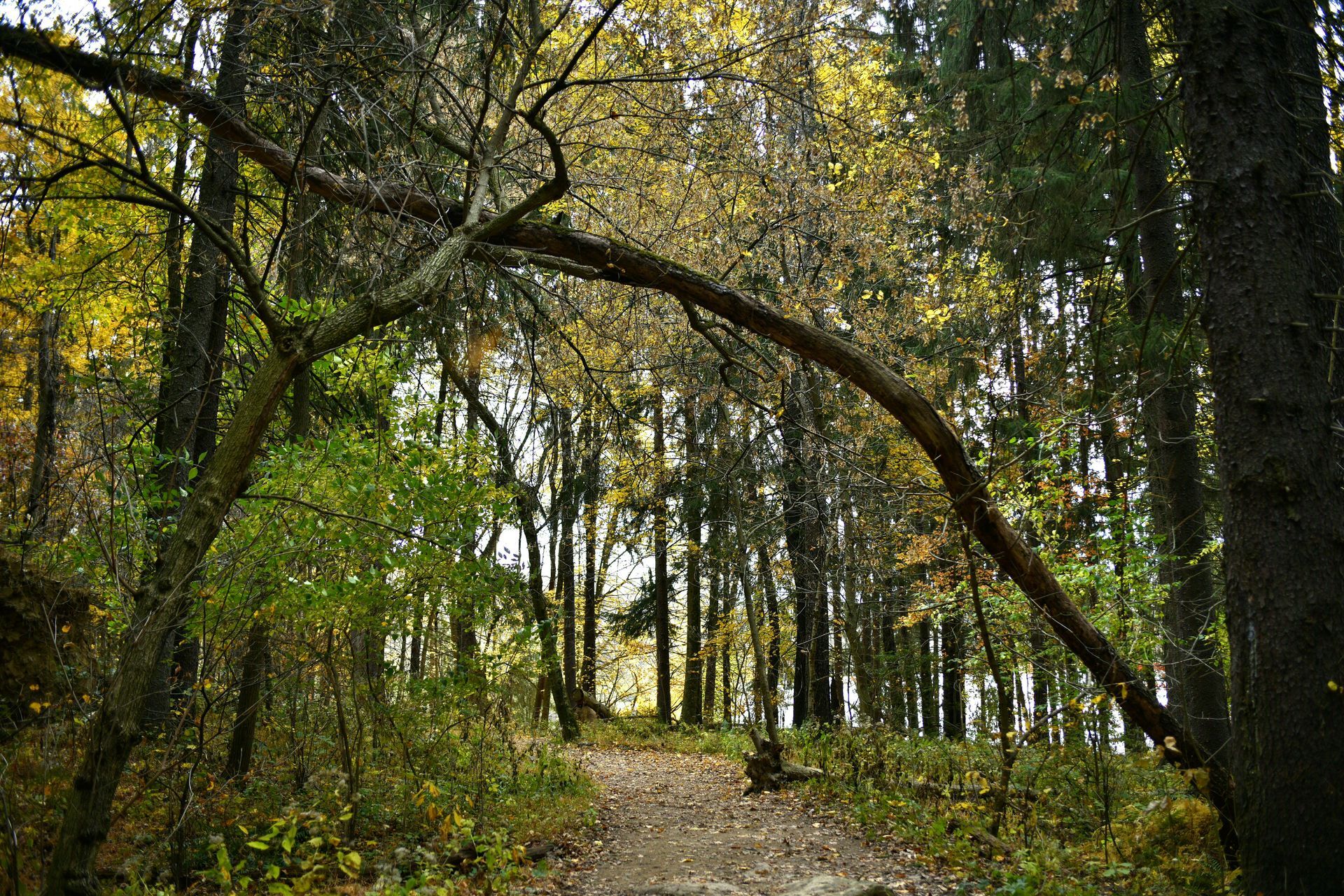
Mapping Oceanside's Trails: Preserving Access and Planning for the Future
The Trails Team identified and mapped Oceanside’s public trails with inputs from our knowledgeable residents. This map helps us identify areas in our community that would benefit from the creation of new neighborhood-connector trails. Some of these areas are connected with frequently used trails that cross private property and could be rendered unusable due to future land development on that property. To date, the Trails Team has identified a dozen public trails used in Oceanside, from the Fall Creek Trail to the south side to the Short Beach Trail on the northside of our community.
We shared our trail map with Dan Haag, Trails & Outdoor Recreation Manager at the Tillamook Coast Visitors Association in March 2024, who said it was a great starting point in our effort to support trails in our community. Additionally, we are forging a relationship with the Trailkeepers of Oregon (TKO), a volunteer-powered nonprofit working to build, maintain, and advocate for Oregon's trails and natural places. We are working to host a small group from TKO on June 11th so they can survey Oceanside’s trails in the summer of 2024 and determine how our trails fit into their overall trail plan. We also hope to engage interested Oceanside residents in TKO trail building and maintenance events throughout the county.